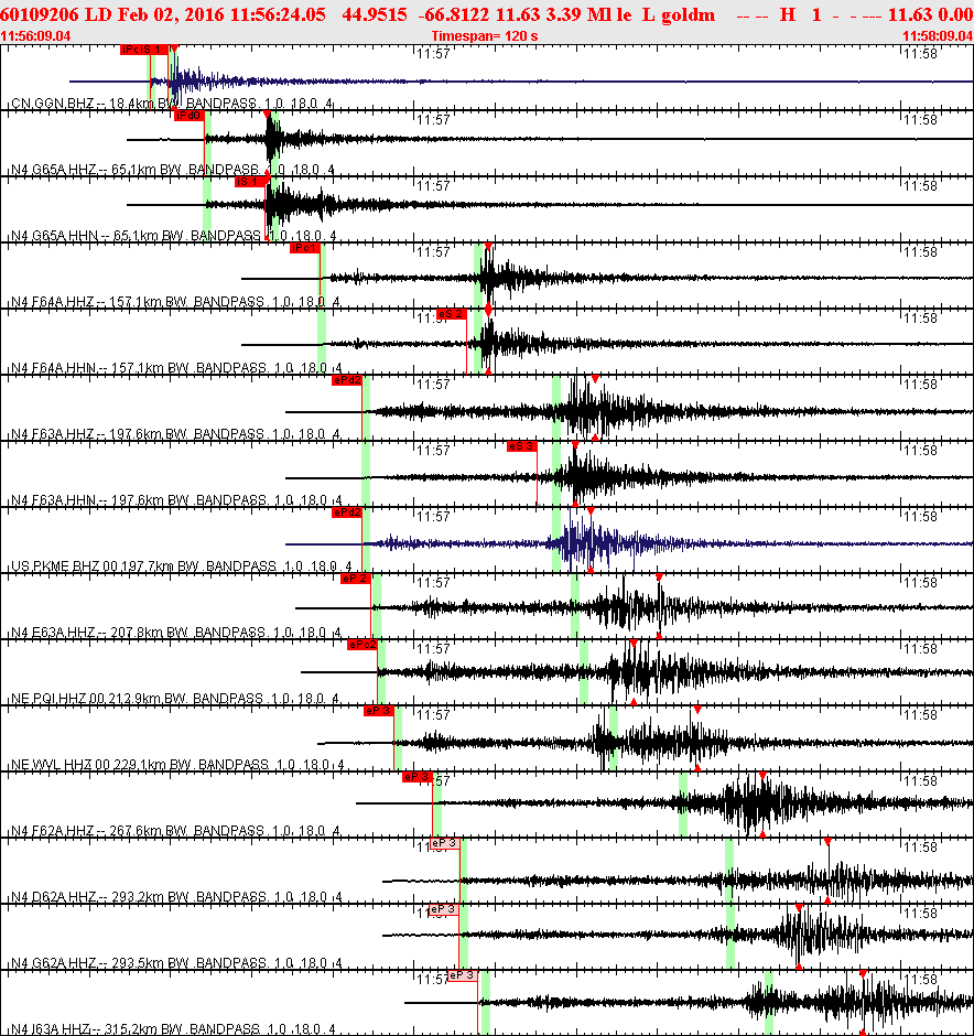
| Event Type: Earthquake |
| Region: 9 km S of Eastport, ME |
| Date-Time: 2/02/2016 11:56:24.05 (UTC) |
| Date-Time: 2/02/2016 06:56:24.05 (EST) |
| Magnitude: 3.39 Ml |
| Latitude: 44.9515 N |
| Longitude: 66.8122 W |
| Depth: 11.6 km |
| GSC location 2016/02/02 11:56:22 44.87 -66.88 5.0km MN=3.7 |
|
|
|
|